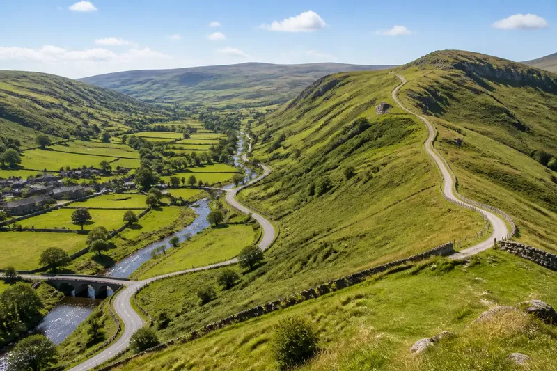
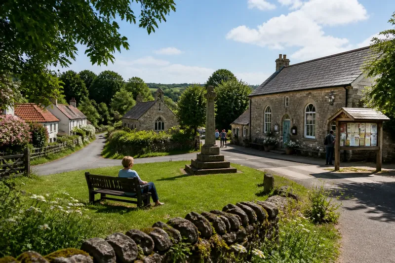
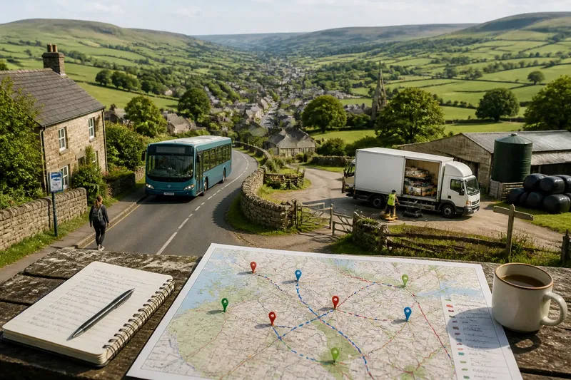
How Place Names Keep Older Landscapes in View
Use place names to trace older land use and local features, then check maps, records and terrain to separate a useful clue from a complete history.
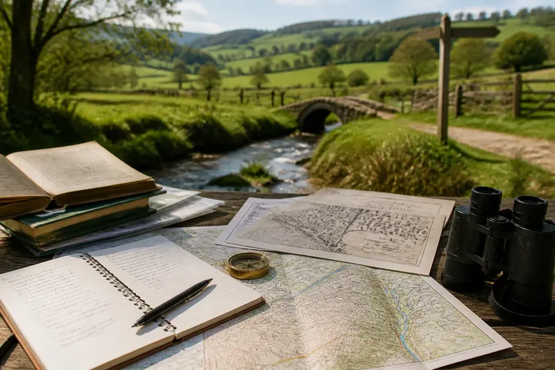
The common mistake with an old place name is treating it as a caption for the landscape: “this must have been a wood”, “that must be a ford”. The cost is a confident story built on a clue that may have shifted, changed meaning or attached to a different spot. To read place names as evidence, begin with the name you can verify, then work outwards through spelling, maps, records and the ground itself.
What exactly is the name you are investigating?
Choose one place name with a clear location: a hamlet, farm, common, stream, hill or field. Record where it appears and what kind of feature it names. A name on a road sign may refer to a settlement; the same words on a stream label may belong to a watercourse. Those are not interchangeable clues.
Write down the name exactly as it appears on a current map, including any separate words or local spelling. Note the map edition or source, and mark the location on a paper map or in a mapping app. If a name is used locally but missing from the map, record who uses it and what area they mean, without silently treating it as an official label.
Keep your initial interpretation open. A familiar modern word can resemble an older element without sharing its origin, and a name may have travelled from one feature to another as land was reorganised. Start with the question, “What might this name preserve?” rather than “What does this name prove?”
How can older spellings narrow the meaning?
Look for earlier forms in sources that identify the place, such as historic maps, estate plans, parish documents, local directories or archival catalogues. Libraries, county archives and local history groups may hold scanned material or explain how to search their collections. Copy each spelling with its source and date, where given. Do not combine variant forms into a single invented spelling.
Compare the forms letter by letter. A name that looks transparent today may have had a different sound or division in an earlier form. Conversely, an old spelling can make a connection more plausible if it resembles a known local word or naming element. Treat that resemblance as a lead, not a verdict. Specialist place-name dictionaries and county studies can help, particularly where the language history is unfamiliar.
Ask what changed between versions. Was a word shortened, respelled, joined to another, or applied to a wider area? A map label might record a house or estate rather than the whole settlement. Check nearby names too: several names containing a similar element can suggest a local pattern, though they do not by themselves settle what the element meant.
Which landscape clues are worth checking?
Once you have a possible meaning, identify the feature it would predict. A name associated with wet ground invites a look at drainage lines, springs, marshy hollows or the way water gathers after rain. A name linked to woodland invites comparison with old map symbols, surviving tree cover, coppice names or documentary references to timber. A name suggesting a crossing calls for attention to the stream, historic routes and mapped bridges or fords.
Use more than one kind of map if available. A current topographic map helps place the name against contours, water and roads. An older map can show land cover or a route that has since disappeared. Aerial imagery may reveal broad patterns, but hedges, tree cover, drainage work and recent development can obscure earlier features. Each source gives a partial view, shaped by what it was made to record.
Keep the scale of the name in mind. “The Mill” may refer to a building, a watercourse, a farm or a wider neighbourhood. A named wood may once have covered a larger area than the trees that remain. Compare the label’s position across maps and note whether its apparent centre or extent shifts.
How do you check a name against written records?
Search local records for the name and its variants, not only its current spelling. Useful material may include land surveys, parish records, sale particulars, farm accounts, directories and local histories. A document can show what a place was called at a particular time or how a property was described. It may also reveal that a name referred to a holding, occupation or owner rather than a natural feature.
Read the surrounding entry, not just the matching word. A field called “The Moor” in a property schedule may be one parcel among several, while a map might use the same name for a broader area. Note the document’s purpose and who produced it. A surveyor’s plan, a resident’s letter and a gazetteer do not record places in the same way.
Imagine you are tracing “Millbrook” on a small stream. An older map places a mill symbol upstream, while a property record uses the name for a group of cottages farther along the valley. The sensible result is not to choose one as the “real” Millbrook: record both uses, then check whether the name broadened or shifted. That leaves a visible question for the next source rather than hiding uncertainty.
What should you look for on the ground?
Visit only where access is permitted, and observe from a public path or other lawful place. Match the map to visible features: the line of a stream, a hollow, a stand of trees, an old track or a change in slope. Take notes about what is present and absent. A feature that is no longer visible may still have existed, while a present-day feature may be newer than the name.
Do not treat one visit or one season as a complete picture. Water levels, crops, leaf cover and land management alter what can be seen. Use a map to orient yourself, but do not cross private land or enter unsafe ground to test a theory. If access is unclear, ask the land manager or use a public route.
Separate observation from interpretation in your notes. “A shallow channel runs beside the track” is an observation; “this was the old mill leat” is an interpretation that needs corroboration. This distinction makes your account easier to revise when another map or record changes the picture.
How can you keep the investigation reliable?
Keep a simple evidence table in a notebook or spreadsheet. Give each item its source, date, exact wording, mapped location and what it supports. Mark uncertain readings as uncertain. A practical set of checks is:
- Current form: Is the spelling taken from a dependable map or sign, and does it name the same feature you are investigating?
- Earlier forms: Have you copied each spelling accurately and kept its source with it?
- Meaning: Is the proposed language or local usage supported by a credible place-name reference?
- Map position: Does the name stay attached to one place, or move between a building, settlement and landscape feature?
- Land evidence: Does a separate map or record show the predicted feature or earlier use?
- Alternative readings: Could the name refer to an owner, occupation, boundary or nearby feature instead?
- Access and observation: Are your on-site notes limited to places you could lawfully and safely observe?
If a check fails, narrow the claim rather than filling the gap with a guess. “The name may relate to former wet ground” is more useful than a tidy but unsupported declaration that the whole area was marsh. Keep competing explanations side by side until evidence distinguishes them.
What questions help interpret place names?
Can a place name prove what the land was used for?
No. It can point towards a possible use or feature, but the word may have changed meaning, shifted location or survived after the landscape changed. Look for independent support in maps, records and visible terrain.
Why do old maps spell the same name differently?
Spellings can reflect local pronunciation, changing writing conventions, copying errors or a mapmaker’s choice. Compare several dated forms and consult a specialist reference before assigning an origin.
What if a name has no obvious landscape connection?
Consider personal names, occupations, ownership, religious associations and transferred names from elsewhere. Keep the source and location in view; an apparent lack of a physical feature does not make the name meaningless.
How should I share an uncertain interpretation?
State the evidence and qualify the conclusion: for example, “an early map places a mill here, which may explain the name”. Mention any conflicting use or spelling so readers can see where the interpretation remains open.
When is the evidence strong enough to make a claim?
Use wording that matches the evidence. A single name gives you a clue. An earlier spelling can make a reading more credible. A map showing the relevant feature, supported by a separate record or a clear local pattern, can justify a stronger account. Even then, distinguish what the sources state from what you infer.
For a short local note, cite the map, archive item or reference work by name and explain how it supports the interpretation. If a source is undated or a spelling is hard to read, say so. Where the name has several plausible meanings, present the alternatives rather than forcing one answer.
That is the useful promise of place names: not a complete history hidden in a word, but a way into questions that maps and records can answer. The phrase you search for is how place names keep older landscapes in view, and the best result is a traceable account of what each clue can—and cannot—tell you.