The Myth of the Self-Contained Rural Region
Map rural regional connections by tracing journeys, services and exchanges across boundaries, so you can see which neighbouring places make daily life work.
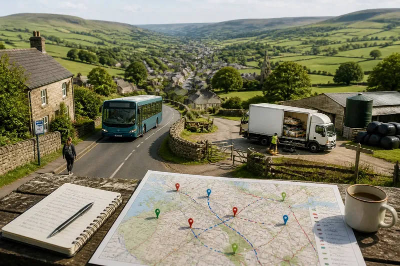
The common mistake is to treat a rural region as a sealed unit, defined by its villages, fields and services. That picture hides the daily journeys that keep places working: a bus to a neighbouring town, a delivery from a regional depot, or a school run across a county line. The cost is practical as well as descriptive: plans for services and shared resources can overlook the people and routes they depend on.
To understand how a region connects beyond its apparent edges, follow an ordinary week rather than drawing a boundary and stopping there. Notice where people travel, what moves between places and which services depend on several communities. A simple route diary and a marked-up map can make these links visible without suggesting that every connection matters equally.
What does a rural region depend on beyond its boundary?
Administrative borders help organise councils, funding and public services. They do not necessarily match the routes people use or the area that supplies a particular service. A village may sit in one district while its nearest hospital, secondary school or major food shop lies in another. A small business may rely on customers, workers and suppliers from several neighbouring areas.
These links do not erase local identity. People can feel attached to their village, parish or wider region while making routine journeys elsewhere. Nor does crossing a boundary mean that a community has no local resources. Ask what people can reach, how they reach it and what happens when a route or service changes.
Keep three kinds of connection in view:
- Journeys: regular trips for school, work, care, shopping, worship or social visits.
- Services: provision used locally but organised, staffed or delivered from elsewhere.
- Exchanges: goods, labour, skills, information and support moving between places.
A connection can be ordinary and still matter. A village shop may receive stock through a wholesaler based outside the area; a community group may borrow equipment from a nearby town. Record the link before deciding how central it is.
How can you trace a connected rural week?
Choose a realistic week and a small set of everyday activities. The aim is not to account for every journey in a region. It is to see how different kinds of movement fit together and where local boundaries obscure the pattern.
On Monday, choose the routines to follow
Start with regular routines rather than unusual trips. You might include a household with school-age children, an older resident who attends appointments, a farm worker, a shopkeeper or a volunteer who helps run a shared hall. Do not assume one household stands for a whole community; note which experiences your selection leaves out.
Use a paper notebook or a simple spreadsheet. For each routine, record the starting place, destination, purpose, travel mode, usual timing and whether the trip depends on someone else. Avoid collecting unnecessary names or personal details. The point is to understand patterns, not to track individuals.
On Tuesday, mark the actual destinations
Put a printed road map, local authority map or open digital map on the table. Mark destinations as well as origins: a GP practice, school, market, repair workshop, bus interchange or distribution point. If you do not know where a service is based, check its public contact details or ask how it is arranged.
Use different symbols for journeys, services and exchanges. A bus route should not be confused with a delivery link or a volunteer’s regular trip. Mark the boundary lightly, so it provides context without dictating where the map ends.
On Wednesday, check what happens between places
A map shows a route but not necessarily its terms. Note whether a bus runs at useful times, whether a service requires an appointment, or whether a delivery reaches every settlement. For shared resources, ask who can use them, who maintains them and whether access depends on a local group’s arrangements.
Keep questions practical and respectful. A public timetable, service directory or organisation’s published information may answer some points. If you speak with residents or providers, explain why you are asking and avoid turning one person’s experience into a claim about everyone.
On Thursday, look for overlooked links
Not every connection appears as a passenger journey. A local tradesperson may collect materials from a town beyond the county line. A village hall may host a service delivered by a regional charity. A rural employer may rely on workers who live elsewhere, while local residents use facilities in another district.
Ask what arrives, who brings it, where it comes from and where it goes next. Include information and care as well as physical goods. A neighbour who coordinates lifts, for instance, may connect people to appointments without any formal transport service appearing on the map.
On Friday, compare weekday and weekend access
Use Friday to compare ordinary weekday routines with weekend access. Check the timetable for a bus serving a town, the opening arrangements for a shared hall and any published information about seasonal work or school holidays. Mark what changes outside weekday hours: a daytime bus may not serve evening activities, or a community facility may open only when volunteers are available.
Record these as conditions, not universal facts. Write “weekday morning service” or “depends on volunteer availability” rather than drawing a permanent-looking line that suggests access is constant.
On Saturday, review the map with local knowledge
Set aside Saturday to look for missing destinations, misleading boundaries and routes that work only for people with a car. Ask someone familiar with the area whether the map reflects how people actually reach the places shown. Invite correction without expecting any one resident to speak for the whole region.
Then make a short note beside each connection: who or what it links, how often it is used, and what might interrupt it. If you cannot establish a detail, label it as unknown rather than filling the gap with a guess.
What should you include in a rural connections map?
A map can become cluttered if every possible route receives the same emphasis. Keep the main page readable and put detail in a companion list. For each connection, check the item below and use the result to decide what to record or verify:
- Origin and destination: Check that both places are named; if either is unclear, add the settlement or service point before drawing the link, otherwise keep the specific names.
- Purpose: Check whether the link serves work, education, care, shopping, delivery or another stated need; if the purpose is unknown, mark it for clarification, otherwise use the clearest description.
- Mode: Check whether the link involves walking, cycling, bus, car, community transport or delivery; if the mode is uncertain, label it unknown rather than implying public transport, otherwise show the mode.
- Timing: Check whether the connection is daily, occasional, seasonal or limited to certain hours; if timing varies, add the condition, otherwise record the usual pattern.
- Access: Check for booking, eligibility, opening hours or the need for a lift; if a condition limits access, state it beside the link, otherwise note that no such condition is known.
- Dependency: Check which service, person or organisation keeps the link available; if that detail is missing, leave it unresolved and seek confirmation, otherwise name the responsible organisation or arrangement.
- Boundary: Check which administrative or community lines the link crosses; if it crosses a boundary, show it lightly, otherwise retain the boundary as context without emphasising a crossing.
- Confidence: Check whether the information comes from a public source, local observation or an unresolved question; if it is not confirmed, mark it accordingly, otherwise record what supports the description.
Say you are mapping access to a weekly food market. Imagine a village has a bus to a town outside its district, and the published timetable shows that the return bus leaves before the market closes. First, write the village and market town as the origin and destination; next, mark the bus as the mode and the market as the purpose; then record the outward and return times separately. The resulting map shows a real connection with a timing limit, so the decision is to describe access as constrained rather than simply marking the town as reachable.
Use labels that describe what you know. “Residents use this route for appointments” is more precise than “the village depends on the town” if you have identified only one service. Careful wording keeps the map useful to residents and decision-makers alike.
How can you tell which regional links matter most?
Count is not the only measure of importance. A route used by a small group may be essential if it is their only way to reach a service. A delivery that happens occasionally may matter greatly to a business with no local alternative. Consider frequency, purpose, substitutes and the consequences of disruption together.
Use these descriptions to organise your notes:
- Regular and replaceable: the link is used often, but another workable option exists.
- Regular and difficult to replace: disruption would affect routine access to work, care or essential services.
- Occasional but important: the link serves a less frequent need with few alternatives.
- Unclear: you need more information before judging its role.
This is a way to organise questions, not a formal rating system. If you do not know who uses a connection or what alternatives are available, leave its importance unresolved.
What do people ask about rural regional connections?
Does a service need to be inside the region to serve it?
No. A school, clinic, depot or advice service outside an administrative boundary may still be part of residents’ ordinary access. Record where it is based and who uses it rather than assuming the boundary determines its reach.
How should you show a route that works only at certain times?
Mark the days, hours or conditions that limit it, and separate the outward journey from the return where needed. A route line without its timetable can imply access that is not available in practice.
Can a rural region be connected without frequent public transport?
Yes, but the connections may rely on cars, lifts, community transport, deliveries or occasional trips. Describe the mode and who can use it; a visible road alone does not show that everyone has practical access.
What if residents describe the region differently from the map?
Keep both accounts visible. An administrative map describes official boundaries, while residents may identify with a market town, valley, service centre or network of villages that crosses them.
How can the map support better decisions?
Use the map to ask focused questions before proposing a change. If a bus route is being reviewed, check which appointments, schools and shops depend on it, including destinations outside the council area. If a shared building may lose support, identify who travels there and whether another place can provide the same activity at a workable time.
For each proposed change, note which connections it affects, who is likely to notice, what alternatives exist and what information remains uncertain. A route may be replaceable for someone with a car but not for a person who relies on a lift. Keep those differences explicit rather than hiding them under a single regional average.
Share a draft with the people and organisations named on it. They may spot a missed service, an outdated timetable or a route that looks possible on a map but is difficult in practice. Update the record when the arrangements change, and date the revision so readers can judge whether its details are current.
The myth of the self-contained rural region weakens when a map follows the ordinary work of connection: who travels, what moves, and which places make each other accessible. Keep the boundary in view, but let the routes, services and exchanges show where the region actually reaches.
When a service or route is discussed, ask not only where it sits, but which neighbouring places rely on it and what would remain available if the link changed.